
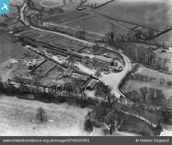
EPW025951 ENGLAND (1929). The railway station, Buntingford, 1929. This image has been produced from a print.
© Copyright OpenStreetMap contributors and licensed by the OpenStreetMap Foundation. 2026. Cartography is licensed as CC BY-SA.
Nearby Images (2)
EPW025951

EPW025151

Details
| Title | [EPW025951] The railway station, Buntingford, 1929. This image has been produced from a print. |
| Reference | EPW025951 |
| Date | 3-April-1929 |
| Link | |
| Place name | BUNTINGFORD |
| Parish | BUNTINGFORD |
| District | |
| Country | ENGLAND |
| Easting / Northing | 536454, 228878 |
| Longitude / Latitude | -0.014652457343907, 51.941216013691 |
| National Grid Reference | TL365289 |
Pins
Be the first to add a comment to this image!