
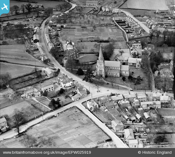
EPW025919 ENGLAND (1929). Holy Trinity Church and environs, Halstead, 1929
© Copyright OpenStreetMap contributors and licensed by the OpenStreetMap Foundation. 2026. Cartography is licensed as CC BY-SA.
Nearby Images (2)
EPW025919

EPW025922

Details
| Title | [EPW025919] Holy Trinity Church and environs, Halstead, 1929 |
| Reference | EPW025919 |
| Date | 3-April-1929 |
| Link | |
| Place name | HALSTEAD |
| Parish | HALSTEAD |
| District | |
| Country | ENGLAND |
| Easting / Northing | 580812, 230456 |
| Longitude / Latitude | 0.63092237677257, 51.942745274156 |
| National Grid Reference | TL808305 |
Pins

gwimages |
Tuesday 1st of March 2022 12:46:15 PM |