
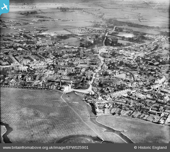
EPW025901 ENGLAND (1929). The town, Sudbury, from the west, 1929
© Copyright OpenStreetMap contributors and licensed by the OpenStreetMap Foundation. 2026. Cartography is licensed as CC BY-SA.
Nearby Images (2)
EPW025901

EPW025897

Details
| Title | [EPW025901] The town, Sudbury, from the west, 1929 |
| Reference | EPW025901 |
| Date | 3-April-1929 |
| Link | |
| Place name | SUDBURY |
| Parish | SUDBURY |
| District | |
| Country | ENGLAND |
| Easting / Northing | 586832, 241236 |
| Longitude / Latitude | 0.72428540580558, 52.037578057455 |
| National Grid Reference | TL868412 |
Pins
Be the first to add a comment to this image!