
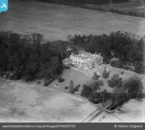
EPW025759 ENGLAND (1929). Hanworth Park House, Hanworth Park, 1929
© Copyright OpenStreetMap contributors and licensed by the OpenStreetMap Foundation. 2026. Cartography is licensed as CC BY-SA.
Nearby Images (21)
EPW025759

EPW025754

EPW025757

EPW025758

EPW026139

EPW025751
, Hanworth Park, 1929")
EPW026132

EPW026131

EPW028594
 and Hanworth Park House, Hanworth Park, 1929")
EPW026140
, Hanworth Park, 1929")
EPW026136
 and Hanworth Park House, Hanworth Park, 1929")
EPW028595
 and Hanworth Park House, Hanworth Park, 1929")
EPW026135
 and Hanworth Park House, Hanworth Park, 1929")
EPW026134
, Hanworth Park, 1929")
EPW026130
, Hanworth Park, 1929")
EPW036244

EPW026133
, Hanworth Park, 1929")
EPW036237

EPW028596
 and environs, Hanworth Park, 1929")
EPW036240

EPW038817
 moored at Hanworth Aerodrome (London Air Park), from the south-east, 1932")
Details
| Title | [EPW025759] Hanworth Park House, Hanworth Park, 1929 |
| Reference | EPW025759 |
| Date | 1929 |
| Link | |
| Place name | HANWORTH PARK |
| Parish | |
| District | |
| Country | ENGLAND |
| Easting / Northing | 511380, 172419 |
| Longitude / Latitude | -0.39732263574644, 51.439311569256 |
| National Grid Reference | TQ114724 |
Pins
Be the first to add a comment to this image!