
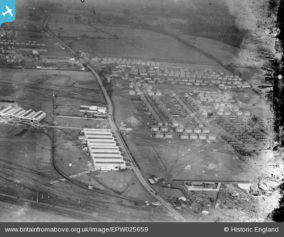
EPW025659 ENGLAND (1929). Melbourne Avenue and environs, Slough, 1929. This image has been produced from a damaged negative.
© Copyright OpenStreetMap contributors and licensed by the OpenStreetMap Foundation. 2026. Cartography is licensed as CC BY-SA.
Nearby Images (8)
EPW025659

EPW025674

EPW025673

EPW051469

EPW025656

EPW051471

EPW000024

EPW025660

Details
| Title | [EPW025659] Melbourne Avenue and environs, Slough, 1929. This image has been produced from a damaged negative. |
| Reference | EPW025659 |
| Date | 26-January-1929 |
| Link | |
| Place name | SLOUGH |
| Parish | |
| District | |
| Country | ENGLAND |
| Easting / Northing | 496237, 181191 |
| Longitude / Latitude | -0.6127546561006, 51.520946830363 |
| National Grid Reference | SU962812 |
Pins

Sloucho |
Sunday 12th of June 2016 10:59:45 PM | |
|
designking |
Thursday 9th of October 2014 08:21:01 PM |