
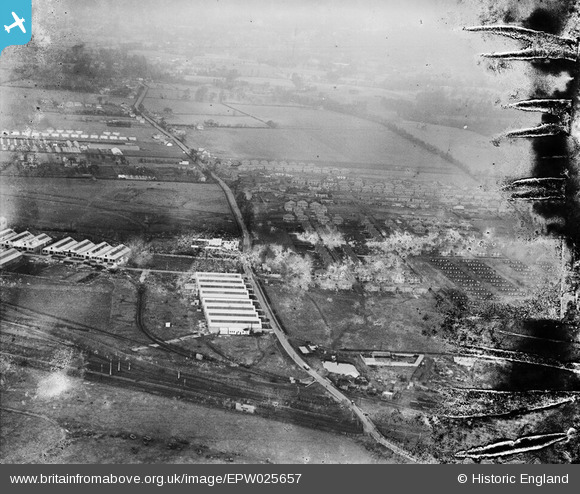
EPW025657 ENGLAND (1929). Melbourne Avenue and environs, Slough, from the south, 1929. This image has been produced from a damaged negative.
© Copyright OpenStreetMap contributors and licensed by the OpenStreetMap Foundation. 2026. Cartography is licensed as CC BY-SA.
Nearby Images (5)
EPW025657

EPW025677

EAW018045

EPW000024

EAW018044

Details
| Title | [EPW025657] Melbourne Avenue and environs, Slough, from the south, 1929. This image has been produced from a damaged negative. |
| Reference | EPW025657 |
| Date | 26-January-1929 |
| Link | |
| Place name | SLOUGH |
| Parish | |
| District | |
| Country | ENGLAND |
| Easting / Northing | 496204, 180866 |
| Longitude / Latitude | -0.61331894540236, 51.518030755233 |
| National Grid Reference | SU962809 |
Pins

payitforwardeddie |
Friday 14th of June 2013 05:46:36 PM | |
|
payitforwardeddie |
Friday 14th of June 2013 05:45:46 PM | |
|
payitforwardeddie |
Friday 14th of June 2013 05:45:11 PM |