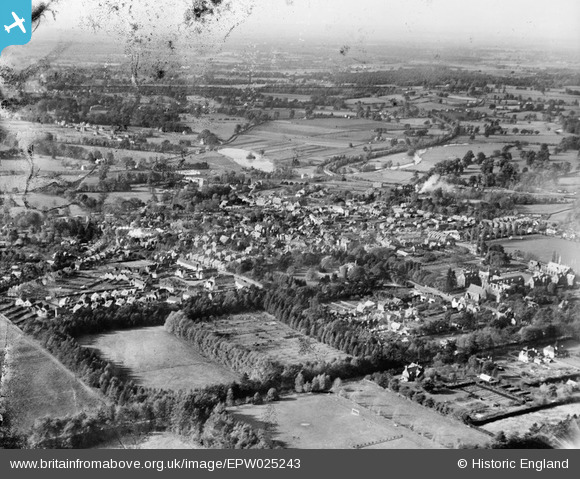
EPW025243 ENGLAND (1928). The town and surrounding countryside, Leatherhead, from the east, 1928
    © Copyright OpenStreetMap contributors and licensed by the OpenStreetMap Foundation. 2025. Cartography is licensed as CC BY-SA.
  
Details
| Title | [EPW025243] The town and surrounding countryside, Leatherhead, from the east, 1928 | 
| Reference | EPW025243 | 
| Date | 25-October-1928 | 
| Link | |
| Place name | LEATHERHEAD | 
| Parish | |
| District | |
| Country | ENGLAND | 
| Easting / Northing | 517204, 156486 | 
| Longitude / Latitude | -0.31881145670307, 51.294917315959 | 
| National Grid Reference | TQ172565 | 
Pins
Be the first to add a comment to this image!
 
             
  ![[EPW025243] The town and surrounding countryside, Leatherhead, from the east, 1928](http://britainfromabove.org.uk/sites/all/libraries/aerofilms-images/public/100x100/EPW/025/EPW025243.jpg) 
  
                                          ![[EAW037057] The town, Leatherhead, 1951. This image has been produced from a print.](http://britainfromabove.org.uk/sites/all/libraries/aerofilms-images/public/100x100/EAW/037/EAW037057.jpg) 
 ![[EPW032796] St John's Foundation School, Leatherhead, 1930](http://britainfromabove.org.uk/sites/all/libraries/aerofilms-images/public/100x100/EPW/032/EPW032796.jpg) 
 ![[EPW006235] St John's School, Leatherhead, 1921](http://britainfromabove.org.uk/sites/all/libraries/aerofilms-images/public/100x100/EPW/006/EPW006235.jpg)