
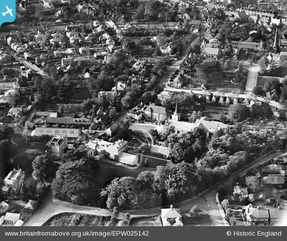
EPW025142 ENGLAND (1928). Pitt Place and St Martin's Church, Epsom, 1928
© Copyright OpenStreetMap contributors and licensed by the OpenStreetMap Foundation. 2026. Cartography is licensed as CC BY-SA.
Nearby Images (2)
EPW025142

EAW024763

Details
| Title | [EPW025142] Pitt Place and St Martin's Church, Epsom, 1928 |
| Reference | EPW025142 |
| Date | October-1928 |
| Link | |
| Place name | EPSOM |
| Parish | |
| District | |
| Country | ENGLAND |
| Easting / Northing | 521329, 160512 |
| Longitude / Latitude | -0.25830075711737, 51.330241365212 |
| National Grid Reference | TQ213605 |
Pins

Good Old Uncle Ted |
Wednesday 18th of May 2016 02:10:52 PM | |
|
Pobble |
Friday 22nd of April 2016 04:20:31 PM |