
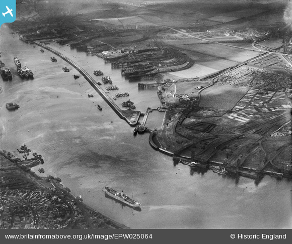
EPW025064 ENGLAND (1928). Northumberland Dock, Royal Quays, from the south-east, 1928
© Copyright OpenStreetMap contributors and licensed by the OpenStreetMap Foundation. 2025. Cartography is licensed as CC BY-SA.
Nearby Images (2)
EPW025064

EPW025056

Details
| Title | [EPW025064] Northumberland Dock, Royal Quays, from the south-east, 1928 |
| Reference | EPW025064 |
| Date | 14-October-1928 |
| Link | |
| Place name | EAST HOWDON |
| Parish | |
| District | |
| Country | ENGLAND |
| Easting / Northing | 434938, 566088 |
| Longitude / Latitude | -1.4539313971894, 54.988083132731 |
| National Grid Reference | NZ349661 |
Pins
Be the first to add a comment to this image!