
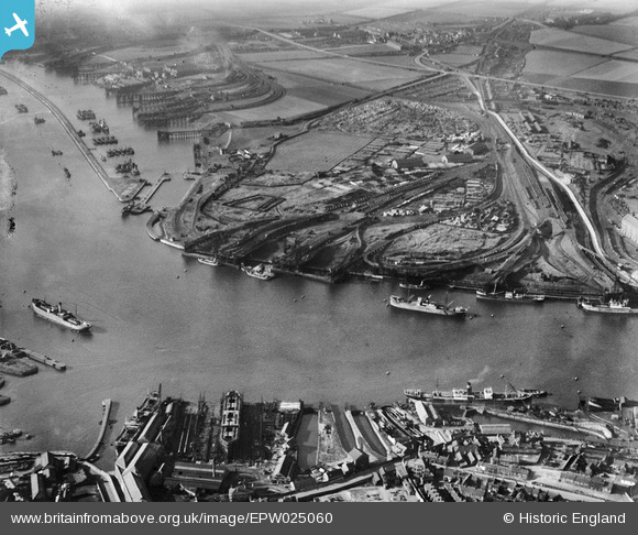
EPW025060 ENGLAND (1928). The Timber Yards, Royal Quays, from the south-east, 1928
© Copyright OpenStreetMap contributors and licensed by the OpenStreetMap Foundation. 2026. Cartography is licensed as CC BY-SA.
Nearby Images (2)
EPW025060

EPW025068

Details
| Title | [EPW025060] The Timber Yards, Royal Quays, from the south-east, 1928 |
| Reference | EPW025060 |
| Date | 14-October-1928 |
| Link | |
| Place name | ROYAL QUAYS |
| Parish | |
| District | |
| Country | ENGLAND |
| Easting / Northing | 435204, 566196 |
| Longitude / Latitude | -1.4497608470489, 54.989034977754 |
| National Grid Reference | NZ352662 |
Pins
Be the first to add a comment to this image!