
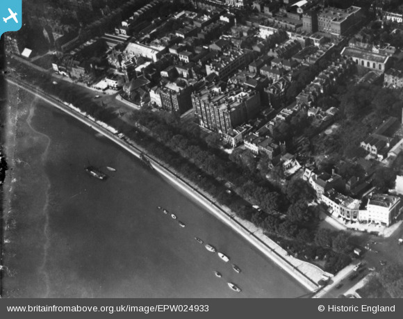
EPW024933 ENGLAND (1928). Cheyne Walk and Chelsea Embankment, Chelsea, 1928. This image has been produced from a damaged print.
© Copyright OpenStreetMap contributors and licensed by the OpenStreetMap Foundation. 2026. Cartography is licensed as CC BY-SA.
Nearby Images (2)
EPW024933

EPW024833

Details
| Title | [EPW024933] Cheyne Walk and Chelsea Embankment, Chelsea, 1928. This image has been produced from a damaged print. |
| Reference | EPW024933 |
| Date | 6-October-1928 |
| Link | |
| Place name | CHELSEA |
| Parish | |
| District | |
| Country | ENGLAND |
| Easting / Northing | 527192, 177612 |
| Longitude / Latitude | -0.16804820875085, 51.482655940397 |
| National Grid Reference | TQ272776 |
Pins
Be the first to add a comment to this image!