
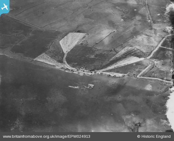
EPW024913 ENGLAND (1928). Wharves on the River Thames to the east of Tilbury Fort, East Tilbury, 1928. This image has been produced from a damaged print.
© Copyright OpenStreetMap contributors and licensed by the OpenStreetMap Foundation. 2026. Cartography is licensed as CC BY-SA.
Nearby Images (2)
EPW024913

EPW024912

Details
| Title | [EPW024913] Wharves on the River Thames to the east of Tilbury Fort, East Tilbury, 1928. This image has been produced from a damaged print. |
| Reference | EPW024913 |
| Date | 3-October-1928 |
| Link | |
| Place name | EAST TILBURY |
| Parish | |
| District | |
| Country | ENGLAND |
| Easting / Northing | 566985, 175517 |
| Longitude / Latitude | 0.40362432320228, 51.453484927502 |
| National Grid Reference | TQ670755 |
Pins
Be the first to add a comment to this image!