
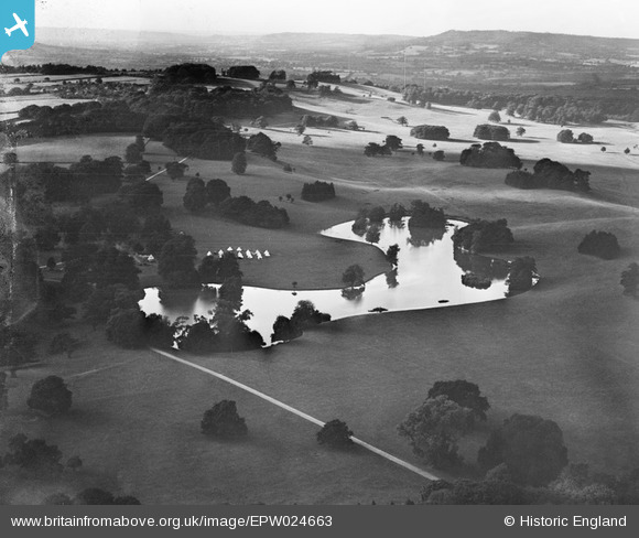
EPW024663 ENGLAND (1928). Upper Pond and Petworth Deer Park, Petworth, from the south-east, 1928
© Copyright OpenStreetMap contributors and licensed by the OpenStreetMap Foundation. 2026. Cartography is licensed as CC BY-SA.
Nearby Images (2)
EPW024663

 0°
0m
0°
0m
EPW024666
 316°
114m
316°
114m
Details
| Title | [EPW024663] Upper Pond and Petworth Deer Park, Petworth, from the south-east, 1928 |
| Reference | EPW024663 |
| Date | September-1928 |
| Link | |
| Place name | PETWORTH |
| Parish | PETWORTH |
| District | |
| Country | ENGLAND |
| Easting / Northing | 497230, 121877 |
| Longitude / Latitude | -0.61456773488874, 50.987530630458 |
| National Grid Reference | SU972219 |
Pins
 Bell Tents, looks too large for a Scout camp, could be a Boys Brigade camp ( the B.B. tends to have area , or district camps rather then each unit having their own camp)
or it could be Army. Bell Tents, looks too large for a Scout camp, could be a Boys Brigade camp ( the B.B. tends to have area , or district camps rather then each unit having their own camp)
or it could be Army. |

Bayman1 |
Sunday 25th of January 2015 04:59:35 PM |
User Comment Contributions
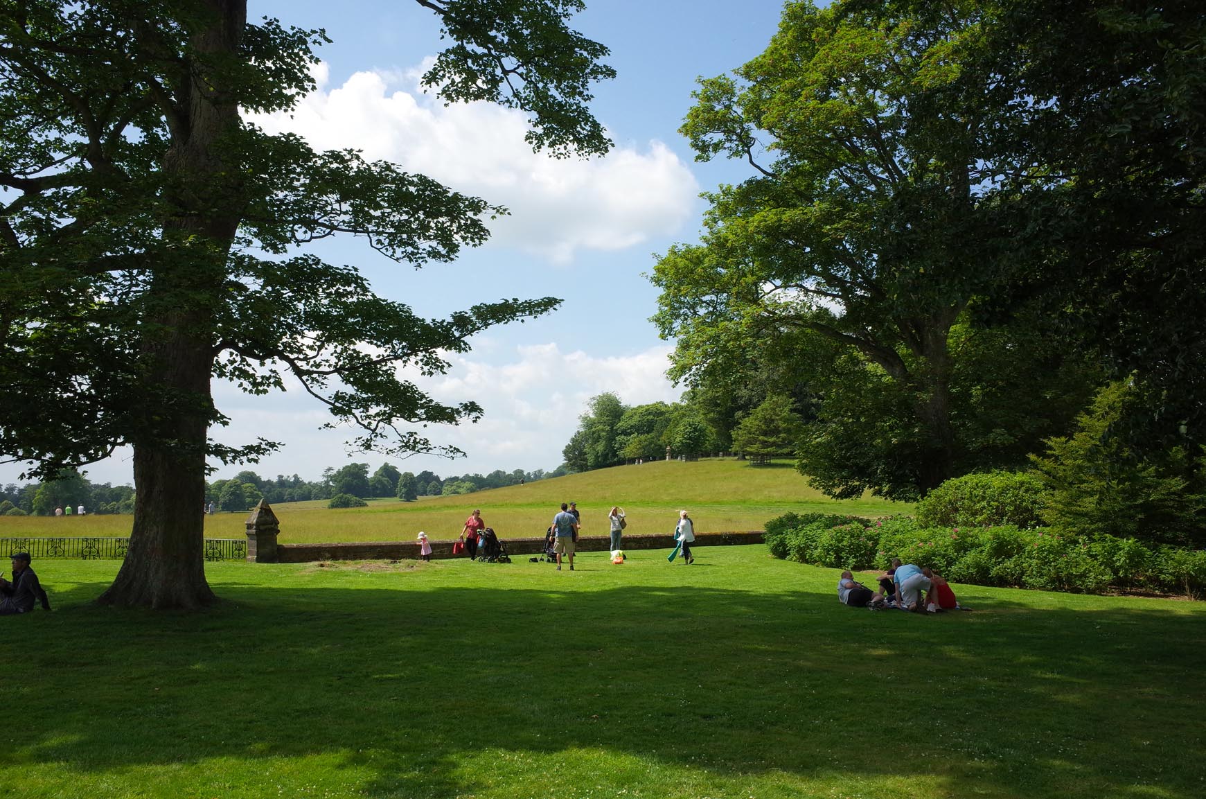
Petworth Deer Park from the house |

Alan McFaden |
Wednesday 10th of September 2014 10:12:36 AM |