
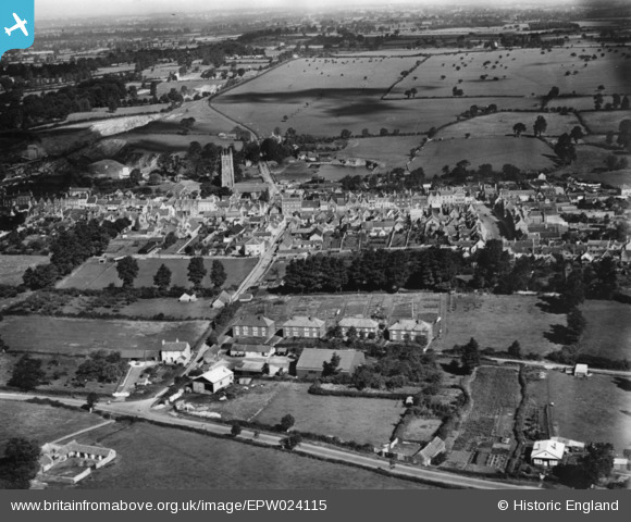
EPW024115 ENGLAND (1928). The town, Chipping Sodbury, 1928. This image has been produced from a print.
© Copyright OpenStreetMap contributors and licensed by the OpenStreetMap Foundation. 2026. Cartography is licensed as CC BY-SA.
Nearby Images (9)
EPW024115

EPW029287

EPW029281

EPW024128

EPW029286

EPW029279

EPW024114

EPW029278

EPW029280

Details
| Title | [EPW024115] The town, Chipping Sodbury, 1928. This image has been produced from a print. |
| Reference | EPW024115 |
| Date | September-1928 |
| Link | |
| Place name | CHIPPING SODBURY |
| Parish | SODBURY |
| District | |
| Country | ENGLAND |
| Easting / Northing | 372834, 182117 |
| Longitude / Latitude | -2.3917230834735, 51.536822156866 |
| National Grid Reference | ST728821 |
Pins
Be the first to add a comment to this image!