
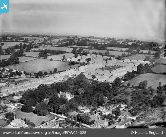
EPW024028 ENGLAND (1928). New housing along Westfield Road, Yeovil, from the south-east, 1928
© Copyright OpenStreetMap contributors and licensed by the OpenStreetMap Foundation. 2026. Cartography is licensed as CC BY-SA.
Nearby Images (2)
EPW024028

EAW051121

Details
| Title | [EPW024028] New housing along Westfield Road, Yeovil, from the south-east, 1928 |
| Reference | EPW024028 |
| Date | September-1928 |
| Link | |
| Place name | YEOVIL |
| Parish | YEOVIL |
| District | |
| Country | ENGLAND |
| Easting / Northing | 354771, 116608 |
| Longitude / Latitude | -2.6438924508286, 50.946585047025 |
| National Grid Reference | ST548166 |
Pins

Class31 |
Saturday 29th of September 2012 08:48:02 PM | |
|
Class31 |
Saturday 29th of September 2012 08:46:27 PM | |
|
Class31 |
Saturday 29th of September 2012 08:44:49 PM | |
|
Class31 |
Saturday 29th of September 2012 08:43:57 PM | |
|
Class31 |
Saturday 29th of September 2012 08:42:18 PM |
User Comment Contributions
Can you figure out where you are? |

mike hine |
Tuesday 26th of June 2012 01:14:38 PM |