
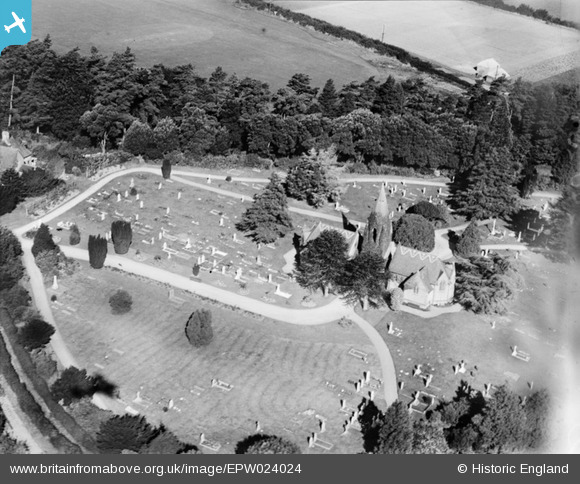
EPW024024 ENGLAND (1928). The cemetery and Mortuary Chapels, Crewkerne, 1928
© Copyright OpenStreetMap contributors and licensed by the OpenStreetMap Foundation. 2024. Cartography is licensed as CC BY-SA.
Nearby Images (2)
EPW024024

EPW024023

Details
| Title | [EPW024024] The cemetery and Mortuary Chapels, Crewkerne, 1928 |
| Reference | EPW024024 |
| Date | September-1928 |
| Link | |
| Place name | CREWKERNE |
| Parish | CREWKERNE |
| District | |
| Country | ENGLAND |
| Easting / Northing | 344910, 109982 |
| Longitude / Latitude | -2.78326263672, 50.886142041079 |
| National Grid Reference | ST449100 |
Pins
Be the first to add a comment to this image!