
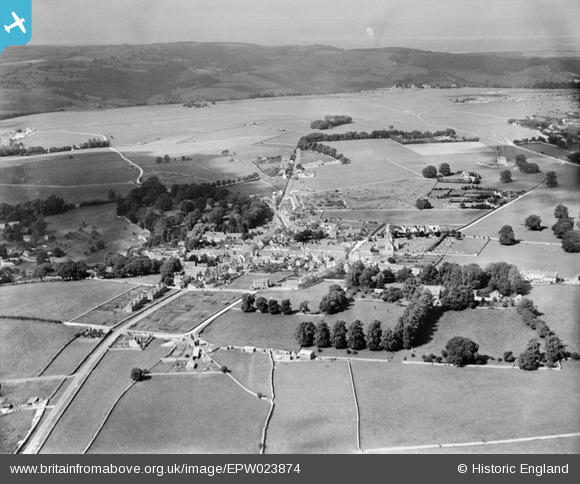
EPW023874 ENGLAND (1928). The town and common, Minchinhampton, from the east, 1928
© Copyright OpenStreetMap contributors and licensed by the OpenStreetMap Foundation. 2026. Cartography is licensed as CC BY-SA.
Nearby Images (2)
EPW023874

EPW023873

Details
| Title | [EPW023874] The town and common, Minchinhampton, from the east, 1928 |
| Reference | EPW023874 |
| Date | September-1928 |
| Link | |
| Place name | MINCHINHAMPTON |
| Parish | MINCHINHAMPTON |
| District | |
| Country | ENGLAND |
| Easting / Northing | 387525, 200626 |
| Longitude / Latitude | -2.180545686588, 51.703776211272 |
| National Grid Reference | SO875006 |
Pins

thomas long |
Thursday 30th of July 2015 05:30:56 PM | |
|
rolypoly |
Saturday 9th of May 2015 05:43:43 PM | |

Class31 |
Thursday 4th of July 2013 12:51:00 PM | |
|
Class31 |
Wednesday 17th of October 2012 11:37:58 AM | |
|
Class31 |
Wednesday 17th of October 2012 11:37:25 AM | |
|
Class31 |
Wednesday 17th of October 2012 11:36:50 AM | |
|
Class31 |
Wednesday 17th of October 2012 11:36:21 AM | |
|
Class31 |
Wednesday 17th of October 2012 11:35:10 AM | |
|
Class31 |
Wednesday 17th of October 2012 11:34:33 AM |

