
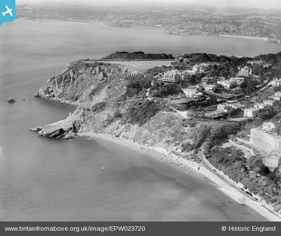
EPW023720 ENGLAND (1928). Meadfoot Sands and Daddy's Hole, Torquay, from the east, 1928
© Copyright OpenStreetMap contributors and licensed by the OpenStreetMap Foundation. 2025. Cartography is licensed as CC BY-SA.
Nearby Images (2)
EPW023720

EPW033404

Details
| Title | [EPW023720] Meadfoot Sands and Daddy's Hole, Torquay, from the east, 1928 |
| Reference | EPW023720 |
| Date | September-1928 |
| Link | |
| Place name | TORQUAY |
| Parish | |
| District | |
| Country | ENGLAND |
| Easting / Northing | 292943, 62943 |
| Longitude / Latitude | -3.5082979345392, 50.455937239811 |
| National Grid Reference | SX929629 |
Pins
Be the first to add a comment to this image!