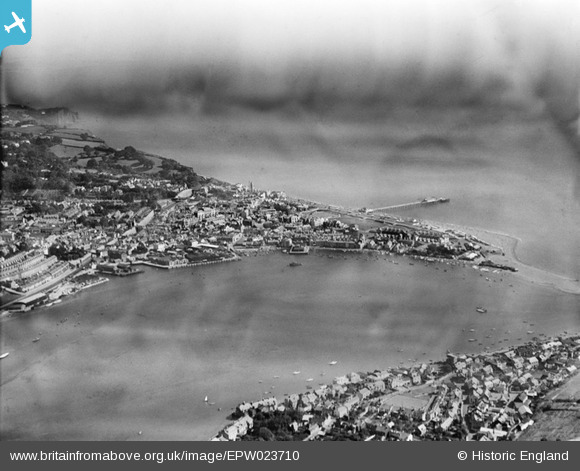
EPW023710 ENGLAND (1928). The town, Teignmouth, from the south-west, 1928
© Copyright OpenStreetMap contributors and licensed by the OpenStreetMap Foundation. 2026. Cartography is licensed as CC BY-SA.
Nearby Images (3)
EPW023710

EPW033441

EPW033437

Details
| Title | [EPW023710] The town, Teignmouth, from the south-west, 1928 |
| Reference | EPW023710 |
| Date | September-1928 |
| Link | |
| Place name | TEIGNMOUTH |
| Parish | TEIGNMOUTH |
| District | |
| Country | ENGLAND |
| Easting / Northing | 293797, 72725 |
| Longitude / Latitude | -3.4990524441897, 50.544042226866 |
| National Grid Reference | SX938727 |