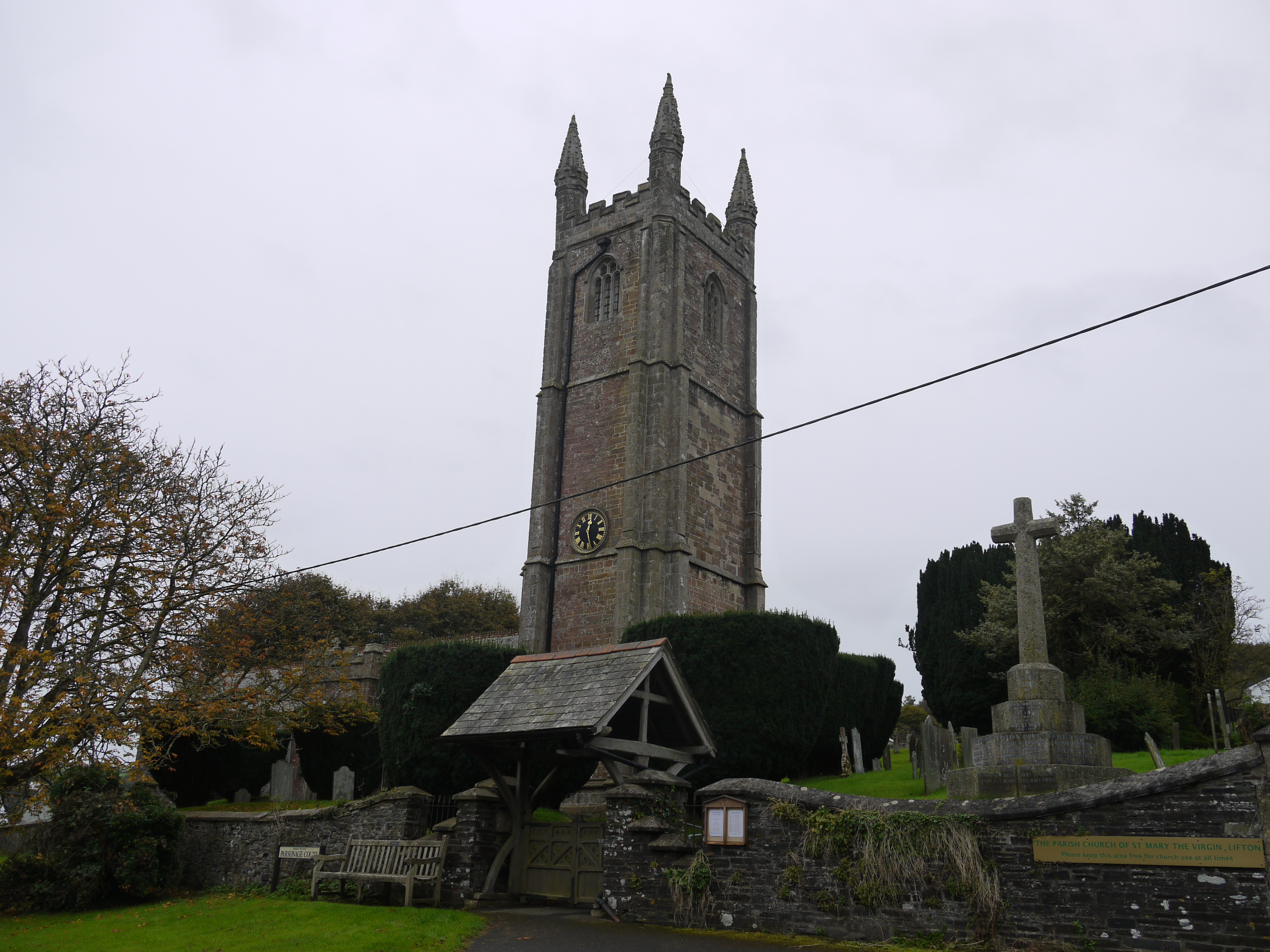
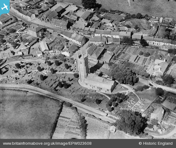
EPW023608 ENGLAND (1928). St Mary's Church, Lifton, 1928
© Copyright OpenStreetMap contributors and licensed by the OpenStreetMap Foundation. 2026. Cartography is licensed as CC BY-SA.
Nearby Images (3)
EPW023608

EPW023607

EPW023609

Details
| Title | [EPW023608] St Mary's Church, Lifton, 1928 |
| Reference | EPW023608 |
| Date | September-1928 |
| Link | |
| Place name | LIFTON |
| Parish | LIFTON |
| District | |
| Country | ENGLAND |
| Easting / Northing | 238624, 85018 |
| Longitude / Latitude | -4.2826125048503, 50.641893690514 |
| National Grid Reference | SX386850 |
Pins

Philip F Cleary |
Saturday 30th of March 2013 08:47:56 PM | |
|
Philip F Cleary |
Saturday 30th of March 2013 08:34:35 PM | |
|
Philip F Cleary |
Saturday 30th of March 2013 08:32:47 PM |