
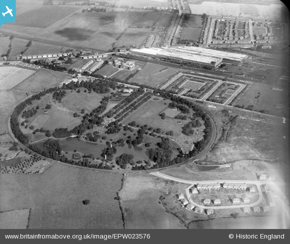
EPW023576 ENGLAND (1928). Queen's Park, Crewe, 1928
© Copyright OpenStreetMap contributors and licensed by the OpenStreetMap Foundation. 2026. Cartography is licensed as CC BY-SA.
Nearby Images (13)
EPW023576

EPW023574

EPW022238

EPW022232

EPW022235

EPW022233

EPW023572

EPW022236

EPW023575

EPW022231

EPW022234

EPW023573

EPW022237

Details
| Title | [EPW023576] Queen's Park, Crewe, 1928 |
| Reference | EPW023576 |
| Date | September-1928 |
| Link | |
| Place name | CREWE |
| Parish | |
| District | |
| Country | ENGLAND |
| Easting / Northing | 368795, 355685 |
| Longitude / Latitude | -2.4660734340862, 53.097157994242 |
| National Grid Reference | SJ688557 |
Pins
Be the first to add a comment to this image!