
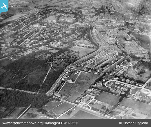
EPW023526 ENGLAND (1928). Valley Gardens and the town, Harrogate, from the south, 1928
© Copyright OpenStreetMap contributors and licensed by the OpenStreetMap Foundation. 2026. Cartography is licensed as CC BY-SA.
Nearby Images (9)
EPW023526

EPW023531

EPW023525

EPW023528

EPW043172

EPW023529

EPW023530

EPW023527

EPW023524

Details
| Title | [EPW023526] Valley Gardens and the town, Harrogate, from the south, 1928 |
| Reference | EPW023526 |
| Date | September-1928 |
| Link | |
| Place name | HARROGATE |
| Parish | |
| District | |
| Country | ENGLAND |
| Easting / Northing | 429207, 454613 |
| Longitude / Latitude | -1.5545278545514, 53.986548011982 |
| National Grid Reference | SE292546 |
Pins
Be the first to add a comment to this image!