
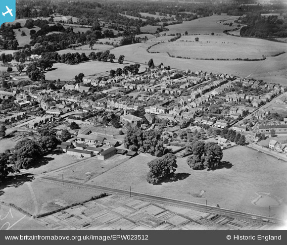
EPW023512 ENGLAND (1928). The town centre, Egham, 1928
© Copyright OpenStreetMap contributors and licensed by the OpenStreetMap Foundation. 2026. Cartography is licensed as CC BY-SA.
Nearby Images (7)
EPW023512

EPW026267

EPW026252

EPW026266

EPW023505

EPW006214

EPW023510

Details
| Title | [EPW023512] The town centre, Egham, 1928 |
| Reference | EPW023512 |
| Date | September-1928 |
| Link | |
| Place name | EGHAM |
| Parish | |
| District | |
| Country | ENGLAND |
| Easting / Northing | 501282, 171406 |
| Longitude / Latitude | -0.54286231077511, 51.432101003891 |
| National Grid Reference | TQ013714 |
Pins

Natalie |
Sunday 22nd of November 2020 10:15:33 AM | |

Class31 |
Tuesday 8th of September 2015 08:47:00 PM | |
|
richburton |
Monday 23rd of March 2015 10:41:59 PM | |
|
Class31 |
Tuesday 30th of October 2012 05:07:10 PM | |
|
Class31 |
Tuesday 30th of October 2012 05:06:54 PM | |
|
Class31 |
Tuesday 30th of October 2012 05:06:32 PM | |
|
Class31 |
Tuesday 30th of October 2012 05:06:11 PM | |
|
Class31 |
Tuesday 30th of October 2012 05:05:54 PM |

User Comment Contributions
The top of this picture also shows all of Runnymede itself - the open meads stretching away from the edge of the town and going beside the Thames which appears in the top right corner. |
Roy |
Wednesday 27th of June 2012 01:24:26 AM |