
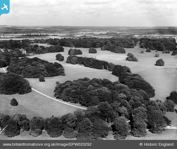
EPW023292 ENGLAND (1928). Hurstbourne Park and environs, Hurstbourne Park, from the west, 1928
© Copyright OpenStreetMap contributors and licensed by the OpenStreetMap Foundation. 2024. Cartography is licensed as CC BY-SA.
Nearby Images (2)
EPW023292

EPW023293

Details
| Title | [EPW023292] Hurstbourne Park and environs, Hurstbourne Park, from the west, 1928 |
| Reference | EPW023292 |
| Date | September-1928 |
| Link | |
| Place name | HURSTBOURNE PARK |
| Parish | HURSTBOURNE PRIORS |
| District | |
| Country | ENGLAND |
| Easting / Northing | 443564, 147609 |
| Longitude / Latitude | -1.376069998119, 51.225493328019 |
| National Grid Reference | SU436476 |
Pins
Be the first to add a comment to this image!