
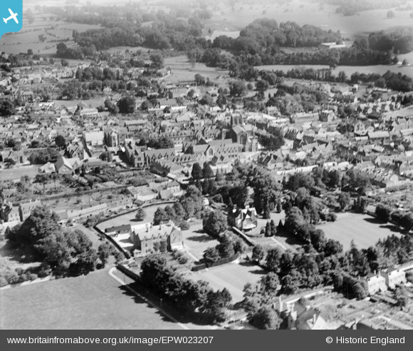
EPW023207 ENGLAND (1928). Sherborne and environs, Sherborne, from the west, 1928
© Copyright OpenStreetMap contributors and licensed by the OpenStreetMap Foundation. 2026. Cartography is licensed as CC BY-SA.
Nearby Images (4)
EPW023207

EPW011723

EAW033657

EAW033658

Details
| Title | [EPW023207] Sherborne and environs, Sherborne, from the west, 1928 |
| Reference | EPW023207 |
| Date | September-1928 |
| Link | |
| Place name | SHERBORNE |
| Parish | SHERBORNE |
| District | |
| Country | ENGLAND |
| Easting / Northing | 363518, 116496 |
| Longitude / Latitude | -2.5193626627576, 50.946197953548 |
| National Grid Reference | ST635165 |
Pins

Class31 |
Tuesday 5th of February 2013 05:25:38 PM |