
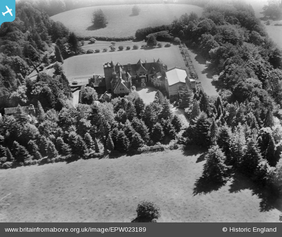
EPW023189 ENGLAND (1928). Coombe House, Coombe, 1928
© Copyright OpenStreetMap contributors and licensed by the OpenStreetMap Foundation. 2026. Cartography is licensed as CC BY-SA.
Nearby Images (6)
EPW023189

EAW024407

EAW024410

EPW023187

EAW024408

EAW024409

Details
| Title | [EPW023189] Coombe House, Coombe, 1928 |
| Reference | EPW023189 |
| Date | September-1928 |
| Link | |
| Place name | COOMBE |
| Parish | DONHEAD ST. MARY |
| District | |
| Country | ENGLAND |
| Easting / Northing | 388453, 122945 |
| Longitude / Latitude | -2.164592793474, 51.005234676553 |
| National Grid Reference | ST885229 |
Pins
Be the first to add a comment to this image!