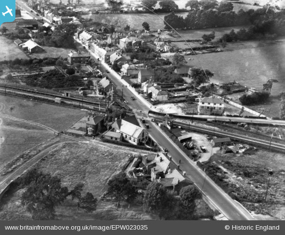
EPW023035 ENGLAND (1928). The level crossing on West Street, Havant, 1928. This image has been produced from a damaged print.
© Copyright OpenStreetMap contributors and licensed by the OpenStreetMap Foundation. 2026. Cartography is licensed as CC BY-SA.
Details
| Title | [EPW023035] The level crossing on West Street, Havant, 1928. This image has been produced from a damaged print. |
| Reference | EPW023035 |
| Date | August-1928 |
| Link | |
| Place name | HAVANT |
| Parish | |
| District | |
| Country | ENGLAND |
| Easting / Northing | 470785, 106551 |
| Longitude / Latitude | -0.9942846981335, 50.853579840542 |
| National Grid Reference | SU708066 |
Pins

Mr Nozzle |
Thursday 13th of November 2014 01:25:43 PM |


![[EPW023035] The level crossing on West Street, Havant, 1928. This image has been produced from a damaged print.](http://britainfromabove.org.uk/sites/all/libraries/aerofilms-images/public/100x100/EPW/023/EPW023035.jpg)
![[EPW023033] Portsmouth Water Company Water Works, Havant, 1928](http://britainfromabove.org.uk/sites/all/libraries/aerofilms-images/public/100x100/EPW/023/EPW023033.jpg)
![[EPW023030] Portsmouth Water Company Water Works, Havant, 1928](http://britainfromabove.org.uk/sites/all/libraries/aerofilms-images/public/100x100/EPW/023/EPW023030.jpg)