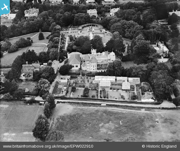
EPW022910 ENGLAND (1928). West Hill, Shanklin, 1928
© Copyright OpenStreetMap contributors and licensed by the OpenStreetMap Foundation. 2026. Cartography is licensed as CC BY-SA.
Details
| Title | [EPW022910] West Hill, Shanklin, 1928 |
| Reference | EPW022910 |
| Date | August-1928 |
| Link | |
| Place name | SHANKLIN |
| Parish | SHANKLIN |
| District | |
| Country | ENGLAND |
| Easting / Northing | 457802, 80979 |
| Longitude / Latitude | -1.1827376605568, 50.625060733743 |
| National Grid Reference | SZ578810 |


![[EPW022910] West Hill, Shanklin, 1928](http://britainfromabove.org.uk/sites/all/libraries/aerofilms-images/public/100x100/EPW/022/EPW022910.jpg)
![[EPW022911] West Hill, Shanklin, 1928](http://britainfromabove.org.uk/sites/all/libraries/aerofilms-images/public/100x100/EPW/022/EPW022911.jpg)
![[EPW043000] The town with Culver Cliff in the distance, Shanklin, from the south-west, 1933](http://britainfromabove.org.uk/sites/all/libraries/aerofilms-images/public/100x100/EPW/043/EPW043000.jpg)
![[EPW024572] Big Meade Recreation Ground and surroundings, Shanklin, 1928](http://britainfromabove.org.uk/sites/all/libraries/aerofilms-images/public/100x100/EPW/024/EPW024572.jpg)
