
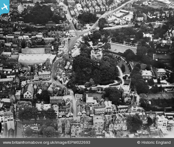
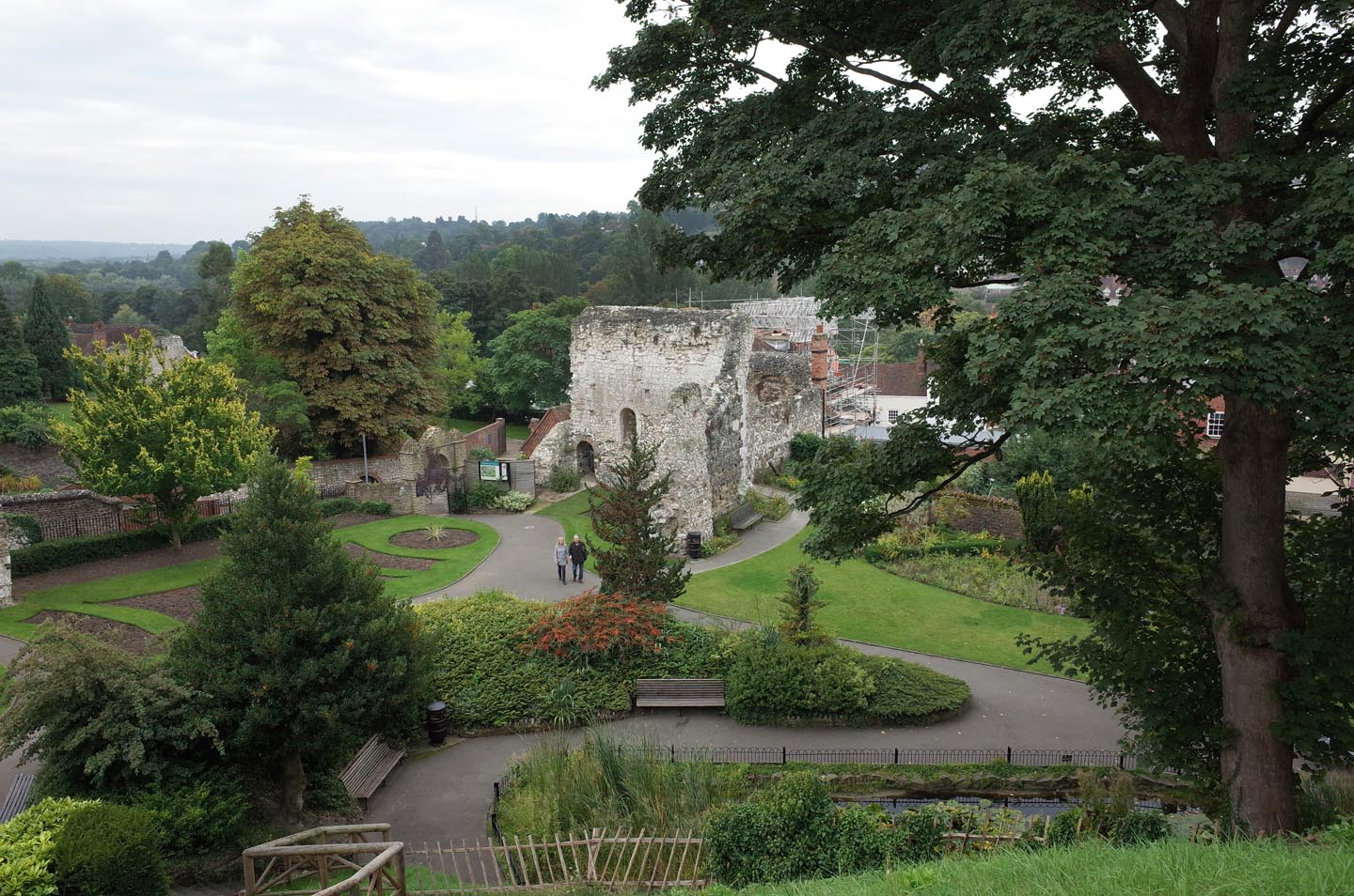
EPW022693 ENGLAND (1928). Guildford Castle and environs, Guildford, 1928. This image has been produced from a copy-negative.
© Copyright OpenStreetMap contributors and licensed by the OpenStreetMap Foundation. 2026. Cartography is licensed as CC BY-SA.
Nearby Images (4)
EPW022693

EAW005217

EAW015757

EPW009859

Details
| Title | [EPW022693] Guildford Castle and environs, Guildford, 1928. This image has been produced from a copy-negative. |
| Reference | EPW022693 |
| Date | August-1928 |
| Link | |
| Place name | GUILDFORD |
| Parish | |
| District | |
| Country | ENGLAND |
| Easting / Northing | 499738, 149318 |
| Longitude / Latitude | -0.57125461008648, 51.233804878052 |
| National Grid Reference | SU997493 |
Pins

Elmlover3 |
Thursday 12th of June 2025 07:07:09 PM | |

Class31 |
Thursday 26th of March 2015 12:55:34 PM | |
|
Class31 |
Thursday 26th of March 2015 12:54:47 PM | |
|
Class31 |
Thursday 26th of March 2015 12:50:57 PM | |
|
Class31 |
Thursday 26th of March 2015 12:49:04 PM | |
|
Class31 |
Thursday 26th of March 2015 12:48:16 PM |


User Comment Contributions
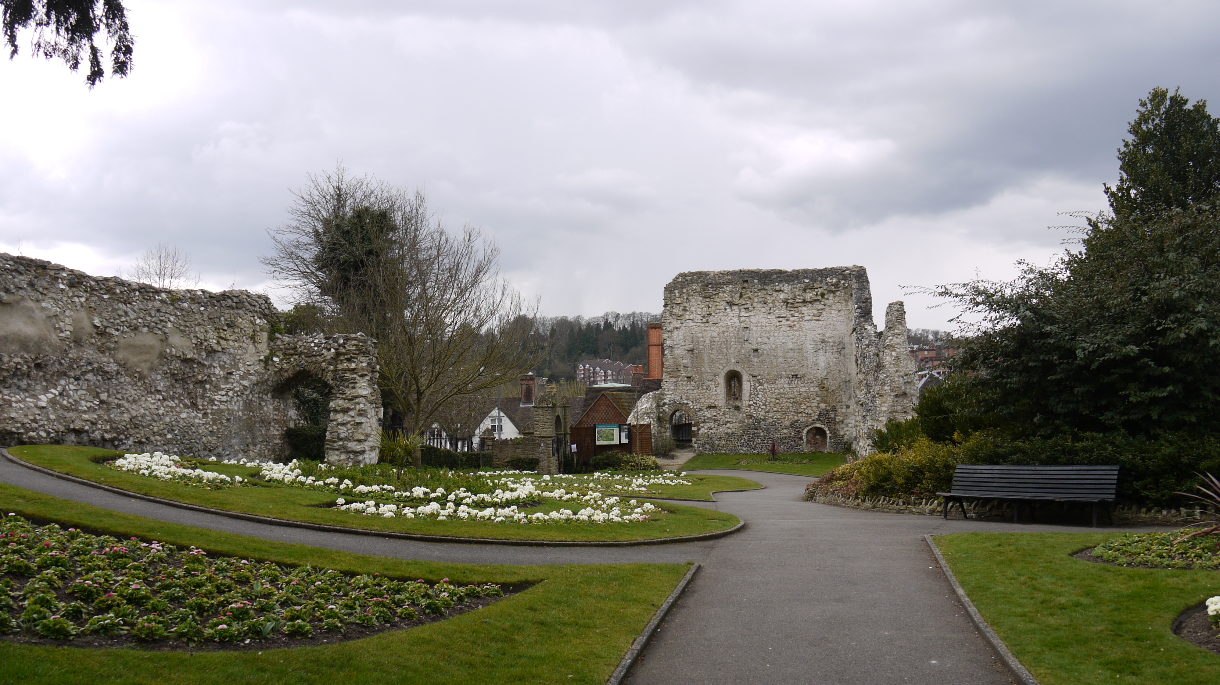
Guildford Castle Grounds, 24/03/2015 |
Class31 |
Thursday 26th of March 2015 12:54:05 PM |
Guildford Castle Grounds, 24/03/2015 |
Class31 |
Thursday 26th of March 2015 12:53:22 PM |

Guildford Castle Grounds, 24/03/2015 |
Class31 |
Thursday 26th of March 2015 12:52:49 PM |
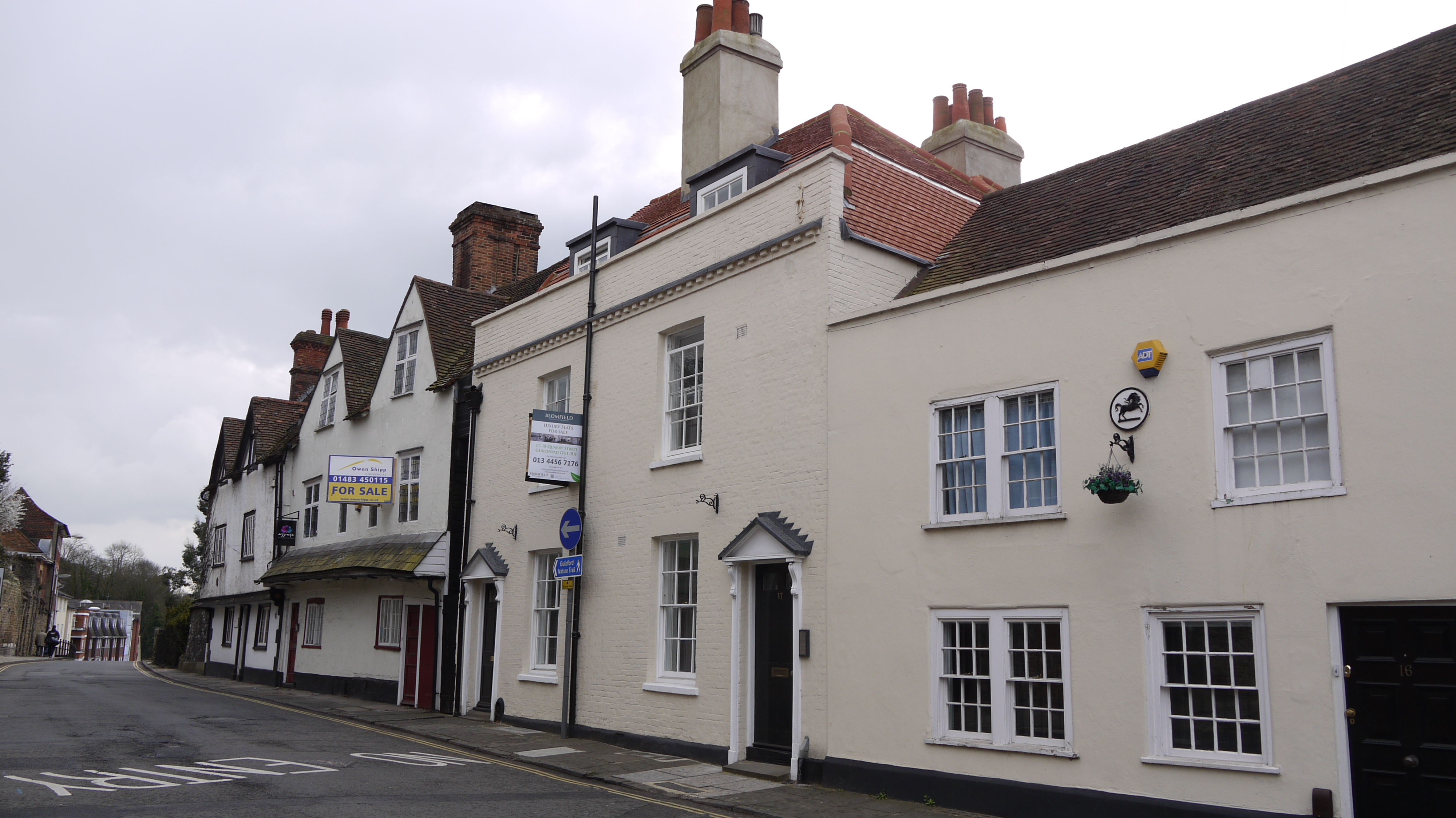
Quarry Street, Guildford, 24/03/2015 |
Class31 |
Thursday 26th of March 2015 12:51:40 PM |
Guildford Castle Grounds |

Alan McFaden |
Saturday 15th of November 2014 05:10:29 PM |
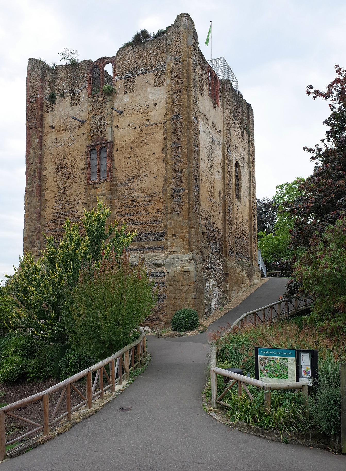
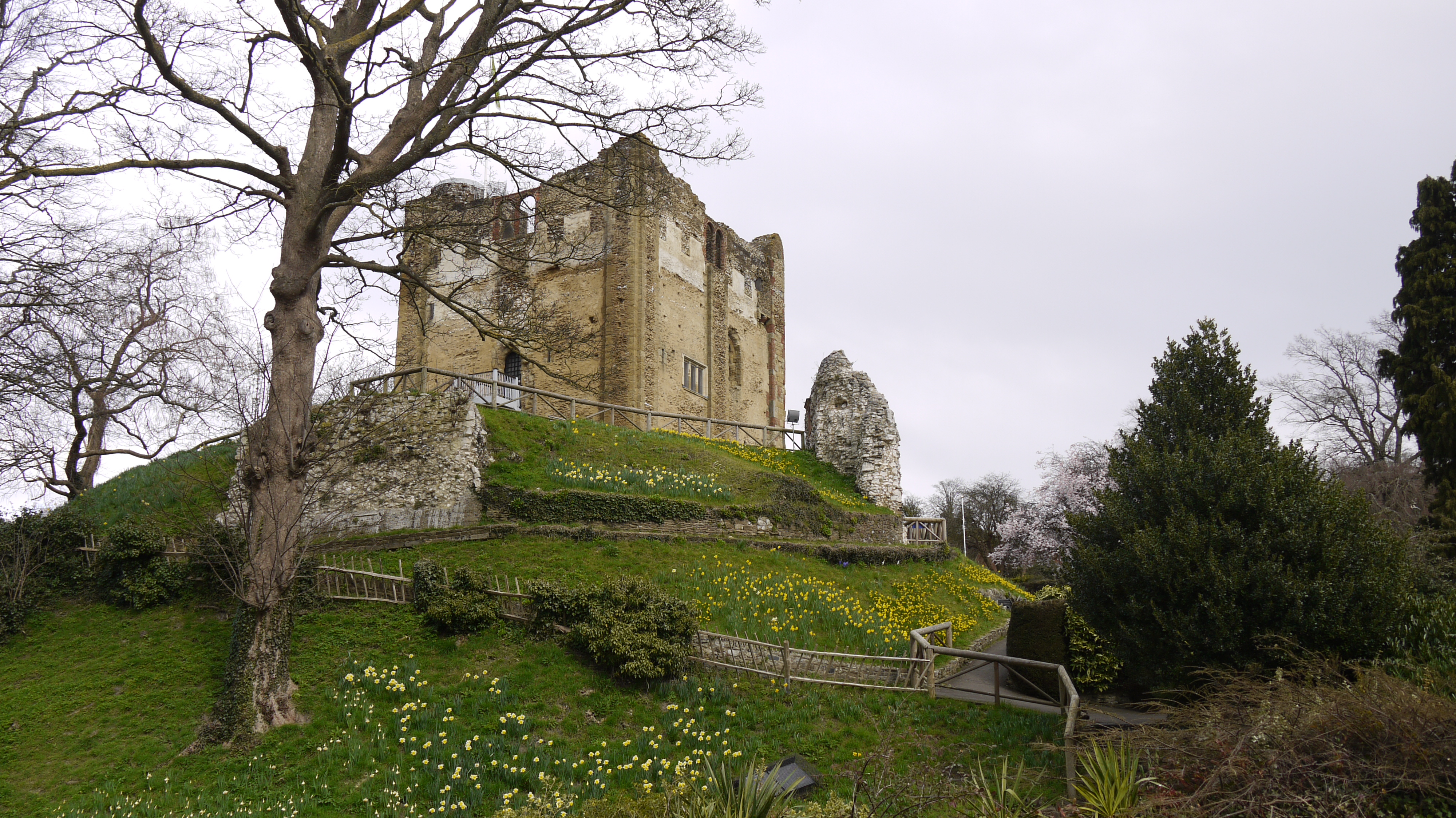
Guildford Castle |
Alan McFaden |
Saturday 15th of November 2014 05:10:01 PM |