
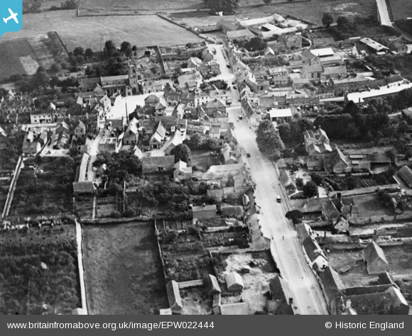
EPW022444 ENGLAND (1928). The village, Eynsham, 1928. This image has been produced from a copy-negative.
© Copyright OpenStreetMap contributors and licensed by the OpenStreetMap Foundation. 2026. Cartography is licensed as CC BY-SA.
Nearby Images (2)
EPW022444

EPW022445

Details
| Title | [EPW022444] The village, Eynsham, 1928. This image has been produced from a copy-negative. |
| Reference | EPW022444 |
| Date | August-1928 |
| Link | |
| Place name | EYNSHAM |
| Parish | EYNSHAM |
| District | |
| Country | ENGLAND |
| Easting / Northing | 443287, 209355 |
| Longitude / Latitude | -1.372456632342, 51.780732528551 |
| National Grid Reference | SP433094 |
