
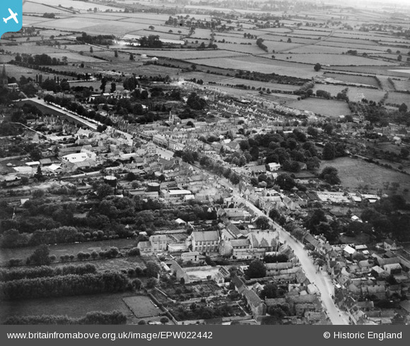
EPW022442 ENGLAND (1928). The town centre, Witney, from the north-east, 1928
© Copyright OpenStreetMap contributors and licensed by the OpenStreetMap Foundation. 2026. Cartography is licensed as CC BY-SA.
Nearby Images (3)
EPW022442

EPW022436

EPW022437

Details
| Title | [EPW022442] The town centre, Witney, from the north-east, 1928 |
| Reference | EPW022442 |
| Date | August-1928 |
| Link | |
| Place name | WITNEY |
| Parish | WITNEY |
| District | |
| Country | ENGLAND |
| Easting / Northing | 435699, 209888 |
| Longitude / Latitude | -1.4824017246015, 51.786060775548 |
| National Grid Reference | SP357099 |
Pins
Be the first to add a comment to this image!