
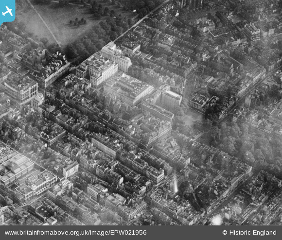
EPW021956 ENGLAND (1928). Devonshire House and surroundings, Westminster, 1928. This image has been produced from a print.
© Copyright OpenStreetMap contributors and licensed by the OpenStreetMap Foundation. 2026. Cartography is licensed as CC BY-SA.
Nearby Images (25)
EPW021956

EPW021881

EPW021958

EPW021959

EPW021960

EPW009097

EPW021975

EPW021955

EAW048538

EPW030070

EPW021957

EPW046659

EPW011932

EPW061245

EPW020947

EPW046649

EPW060761

EPW060560

EPW060558

EPW039583

EAW048536

EAW000484

EAW048534

EPW017261

EAW000488

Details
| Title | [EPW021956] Devonshire House and surroundings, Westminster, 1928. This image has been produced from a print. |
| Reference | EPW021956 |
| Date | July-1928 |
| Link | |
| Place name | WESTMINSTER |
| Parish | |
| District | |
| Country | ENGLAND |
| Easting / Northing | 528958, 180468 |
| Longitude / Latitude | -0.14158282745385, 51.507925074261 |
| National Grid Reference | TQ290805 |
Pins
Be the first to add a comment to this image!