
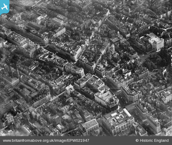
EPW021947 ENGLAND (1928). Regent Street and surroundings, Westminster, 1928
© Copyright OpenStreetMap contributors and licensed by the OpenStreetMap Foundation. 2026. Cartography is licensed as CC BY-SA.
Nearby Images (29)
EPW021947

EPW021948

EPW020956

EPR000200

EPW020957

EPW039582

EAW000485

EPW021885

EPW017684

EPW021943

EPW046654

EPW038463

EPW053008

EPW021945

EPW021941

EPW053003

EPW055355

EPW045389

EPW012747

EPW006000

EPW021934

EAW052487

EAW050838

EPR000316

EAW050836

EAW052488

EPW047238

EPW021400

EAW050856

Details
| Title | [EPW021947] Regent Street and surroundings, Westminster, 1928 |
| Reference | EPW021947 |
| Date | July-1928 |
| Link | |
| Place name | WESTMINSTER |
| Parish | |
| District | |
| Country | ENGLAND |
| Easting / Northing | 529083, 181016 |
| Longitude / Latitude | -0.13958180250563, 51.51282181403 |
| National Grid Reference | TQ291810 |
Pins

Alan McFaden |
Saturday 14th of June 2014 12:02:02 PM | |

Class31 |
Saturday 24th of May 2014 07:59:19 AM | |
|
Class31 |
Saturday 24th of May 2014 07:57:23 AM | |
|
Class31 |
Saturday 24th of May 2014 07:46:03 AM | |
|
Class31 |
Saturday 24th of May 2014 07:45:08 AM | |
|
Class31 |
Saturday 24th of May 2014 07:43:30 AM | |
|
Alan McFaden |
Thursday 5th of December 2013 05:15:33 PM | |
|
Alan McFaden |
Thursday 5th of December 2013 10:23:27 AM |


