
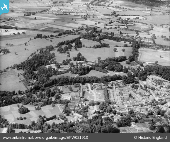
EPW021910 ENGLAND (1928). Esher Green and Esher Place, Esher, from the south-east, 1928
© Copyright OpenStreetMap contributors and licensed by the OpenStreetMap Foundation. 2026. Cartography is licensed as CC BY-SA.
Nearby Images (6)
EPW021910

EPW021907

EPW021905

EPW021911

EPW021902

EPW023452

Details
| Title | [EPW021910] Esher Green and Esher Place, Esher, from the south-east, 1928 |
| Reference | EPW021910 |
| Date | July-1928 |
| Link | |
| Place name | ESHER |
| Parish | |
| District | |
| Country | ENGLAND |
| Easting / Northing | 513526, 164631 |
| Longitude / Latitude | -0.3689494789204, 51.368879113376 |
| National Grid Reference | TQ135646 |
Pins
Be the first to add a comment to this image!