
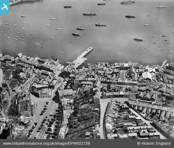
EPW021728 ENGLAND (1928). The Moor and the Prince of Wales Pier, Falmouth, 1928
© Copyright OpenStreetMap contributors and licensed by the OpenStreetMap Foundation. 2026. Cartography is licensed as CC BY-SA.
Nearby Images (3)
EPW021728

EPW021727

EPW021726

Details
| Title | [EPW021728] The Moor and the Prince of Wales Pier, Falmouth, 1928 |
| Reference | EPW021728 |
| Date | 24-June-1928 |
| Link | |
| Place name | FALMOUTH |
| Parish | FALMOUTH |
| District | |
| Country | ENGLAND |
| Easting / Northing | 180791, 32936 |
| Longitude / Latitude | -5.0691616153205, 50.155255849196 |
| National Grid Reference | SW808329 |
Pins
Be the first to add a comment to this image!