
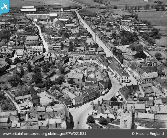
EPW021531 ENGLAND (1928). The town centre, Bungay, 1928
© Copyright OpenStreetMap contributors and licensed by the OpenStreetMap Foundation. 2026. Cartography is licensed as CC BY-SA.
Nearby Images (6)
EPW021531

EAW014070

EPW021529

EPW021528

EPW021530

EAW014069

Details
| Title | [EPW021531] The town centre, Bungay, 1928 |
| Reference | EPW021531 |
| Date | June-1928 |
| Link | |
| Place name | BUNGAY |
| Parish | BUNGAY |
| District | |
| Country | ENGLAND |
| Easting / Northing | 633565, 289823 |
| Longitude / Latitude | 1.4381227558701, 52.455953826408 |
| National Grid Reference | TM336898 |
Pins
Be the first to add a comment to this image!