
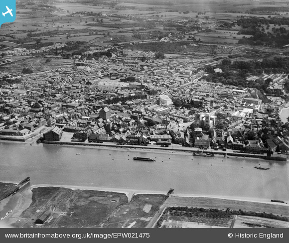
EPW021475 ENGLAND (1928). Kings Lynn and surroundings, Kings Lynn, from the west, 1928
© Copyright OpenStreetMap contributors and licensed by the OpenStreetMap Foundation. 2026. Cartography is licensed as CC BY-SA.
Nearby Images (4)
EPW021475

EPW039194

EPW021480

EPW021479

Details
| Title | [EPW021475] Kings Lynn and surroundings, Kings Lynn, from the west, 1928 |
| Reference | EPW021475 |
| Date | June-1928 |
| Link | |
| Place name | KINGS LYNN |
| Parish | |
| District | |
| Country | ENGLAND |
| Easting / Northing | 561546, 319792 |
| Longitude / Latitude | 0.39385046053596, 52.751223190888 |
| National Grid Reference | TF615198 |
Pins

sarahearney |
Tuesday 19th of December 2017 11:54:42 AM | |
|
sarahearney |
Tuesday 19th of December 2017 11:54:25 AM | |
 |

Class31 |
Monday 23rd of June 2014 11:12:34 PM |
|
Peter |
Tuesday 4th of March 2014 08:56:50 PM | |
|
Peter |
Tuesday 4th of March 2014 08:52:56 PM | |
|
Peter |
Tuesday 4th of March 2014 08:49:54 PM | |
|
Peter |
Tuesday 4th of March 2014 08:49:12 PM | |
|
Peter |
Tuesday 4th of March 2014 08:48:10 PM |

User Comment Contributions
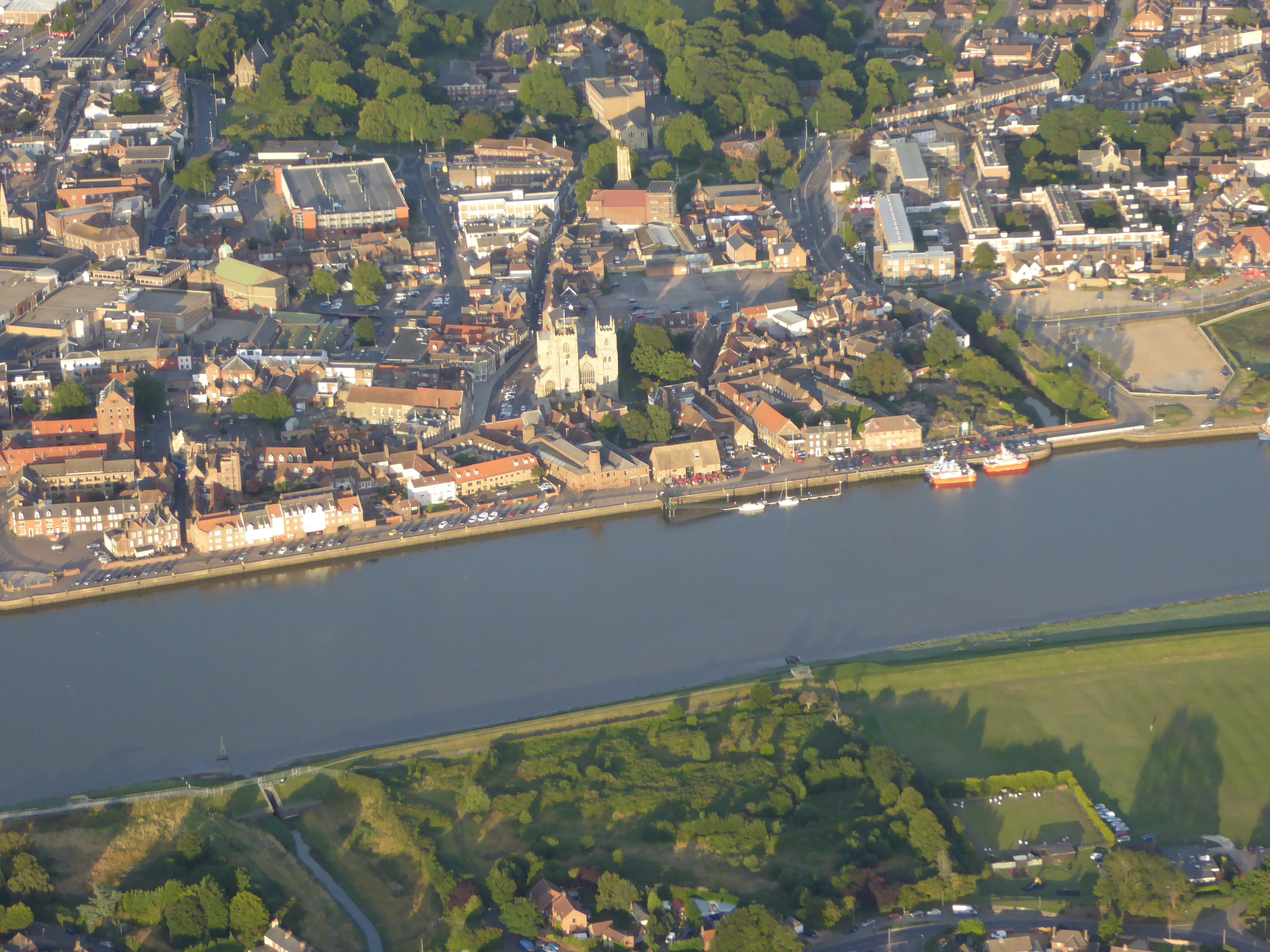
This contemporary point and click view of Kings Lynn from above was taken on the 12 August 2015 from an open cockpit flexwing microlight aircraft at approximately 2000ft. The camera was a Lumix TZ60. The cameras internal GPS gives its Lat/Long position as 52° 45' 29"N 0° 22' 1.7"E and the time as 18:32:55(UTC) when the photograph was taken. |
SMFurner |
Friday 14th of August 2015 04:27:39 AM |