
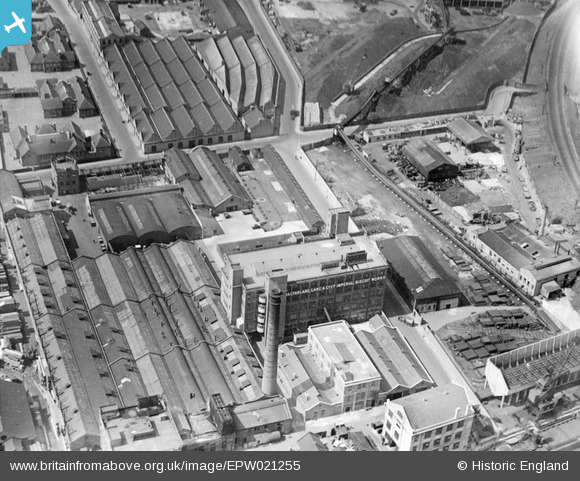
EPW021255 ENGLAND (1928). The Imperial Biscuit Works, Sands End, 1928
© Copyright OpenStreetMap contributors and licensed by the OpenStreetMap Foundation. 2026. Cartography is licensed as CC BY-SA.
Nearby Images (7)
EPW021255

EPW005644

EPW005643

EPW037984

EPW021177

EPW010946

EPW021256

Details
| Title | [EPW021255] The Imperial Biscuit Works, Sands End, 1928 |
| Reference | EPW021255 |
| Date | May-1928 |
| Link | |
| Place name | SANDS END |
| Parish | |
| District | |
| Country | ENGLAND |
| Easting / Northing | 526309, 176480 |
| Longitude / Latitude | -0.18116402729898, 51.472679439765 |
| National Grid Reference | TQ263765 |

