
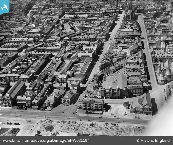
EPW021194 ENGLAND (1928). St Peter's Road and the town, Great Yarmouth, 1928
© Copyright OpenStreetMap contributors and licensed by the OpenStreetMap Foundation. 2026. Cartography is licensed as CC BY-SA.
Nearby Images (4)
EPW021194

EPW021195

EPW008065

EAW005070

Details
| Title | [EPW021194] St Peter's Road and the town, Great Yarmouth, 1928 |
| Reference | EPW021194 |
| Date | May-1928 |
| Link | |
| Place name | GREAT YARMOUTH |
| Parish | |
| District | |
| Country | ENGLAND |
| Easting / Northing | 652984, 307064 |
| Longitude / Latitude | 1.7364647889395, 52.601992454784 |
| National Grid Reference | TG530071 |
Pins

David960 |
Sunday 5th of February 2017 11:21:23 AM | |
|
David960 |
Sunday 5th of February 2017 11:20:27 AM | |
|
David960 |
Sunday 5th of February 2017 11:20:07 AM | |
|
David960 |
Sunday 5th of February 2017 11:19:41 AM | |

Alan McFaden |
Friday 19th of July 2013 07:08:21 PM | |
|
pebble |
Wednesday 15th of May 2013 04:35:36 PM |
