
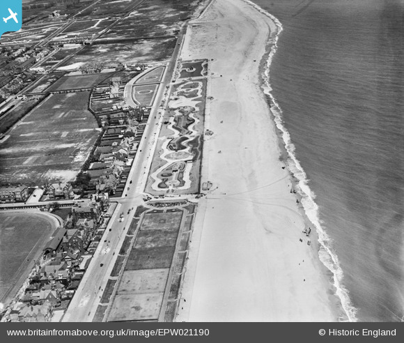
EPW021190 ENGLAND (1928). North Beach, Great Yarmouth, 1928
© Copyright OpenStreetMap contributors and licensed by the OpenStreetMap Foundation. 2026. Cartography is licensed as CC BY-SA.
Nearby Images (3)
EPW021190

EPW001874

EPW016561

Details
| Title | [EPW021190] North Beach, Great Yarmouth, 1928 |
| Reference | EPW021190 |
| Date | May-1928 |
| Link | |
| Place name | GREAT YARMOUTH |
| Parish | |
| District | |
| Country | ENGLAND |
| Easting / Northing | 653209, 308412 |
| Longitude / Latitude | 1.7408120676202, 52.613981455523 |
| National Grid Reference | TG532084 |
Pins

John Frosdick |
Tuesday 24th of March 2015 03:13:18 PM | |
|
John Frosdick |
Tuesday 24th of March 2015 03:10:13 PM | |
|
John Frosdick |
Tuesday 24th of March 2015 03:08:25 PM | |
|
John Frosdick |
Tuesday 24th of March 2015 03:07:04 PM | |
|
John Frosdick |
Wednesday 11th of March 2015 10:39:47 AM | |
|
pebble |
Saturday 11th of May 2013 04:03:57 PM | |
|
pebble |
Saturday 11th of May 2013 04:03:01 PM | |
|
pebble |
Saturday 11th of May 2013 04:02:38 PM | |
|
pebble |
Saturday 11th of May 2013 04:01:55 PM | |
|
GWRMAD |
Friday 3rd of May 2013 12:45:42 PM |