
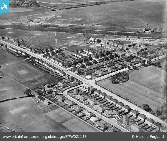
EPW021148 ENGLAND (1928). Noel Road and Acton Housing Estate, Acton, 1928
© Copyright OpenStreetMap contributors and licensed by the OpenStreetMap Foundation. 2026. Cartography is licensed as CC BY-SA.
Nearby Images (20)
EPW021148

EPW020335

EPW020333

EPW020337

EPW020337
EPW020334

EPW020338

EPW021151

EPW020332

EPW020331

EPW020331
EPW020336

EPW020857

EPW020880

EPW020881

EPW021154

EPW021153

EPW021149

EPW020878

EPW021152

Details
| Title | [EPW021148] Noel Road and Acton Housing Estate, Acton, 1928 |
| Reference | EPW021148 |
| Date | April-1928 |
| Link | |
| Place name | ACTON |
| Parish | |
| District | |
| Country | ENGLAND |
| Easting / Northing | 519886, 181439 |
| Longitude / Latitude | -0.27192299378359, 51.51865077018 |
| National Grid Reference | TQ199814 |
Pins
Be the first to add a comment to this image!