
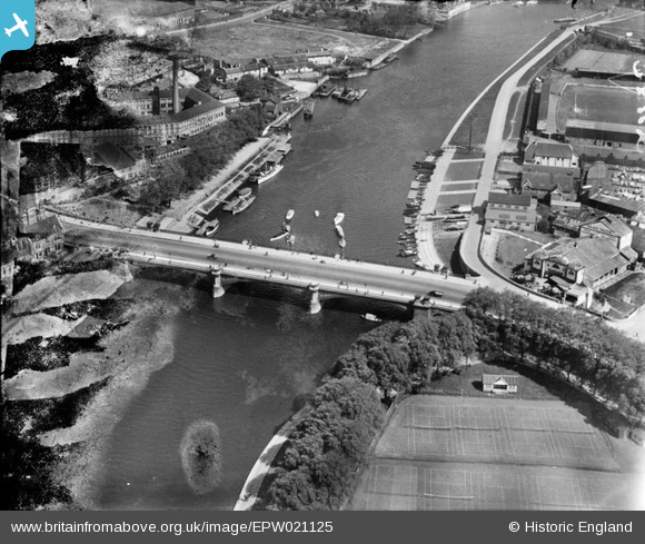
EPW021125 ENGLAND (1928). Trent Bridge, West Bridgford, 1928
© Copyright OpenStreetMap contributors and licensed by the OpenStreetMap Foundation. 2026. Cartography is licensed as CC BY-SA.
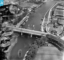
Nearby Images (14)
EPW021125

EPW021126

EPW012268

EPW012648

EPW038630

EAW025936

EPW041575

EPW041576

EPW041574

EPW041578

EPW041579

EPW041577

EPR000153

EPW038631

Details
| Title | [EPW021125] Trent Bridge, West Bridgford, 1928 |
| Reference | EPW021125 |
| Date | April-1928 |
| Link | |
| Place name | WEST BRIDGFORD |
| Parish | |
| District | |
| Country | ENGLAND |
| Easting / Northing | 458150, 338232 |
| Longitude / Latitude | -1.1346633241989, 52.938014271686 |
| National Grid Reference | SK582382 |
Pins

User Comment Contributions
Nottingham Forest 1928. |

Paulie |
Saturday 7th of July 2012 10:20:52 PM |