
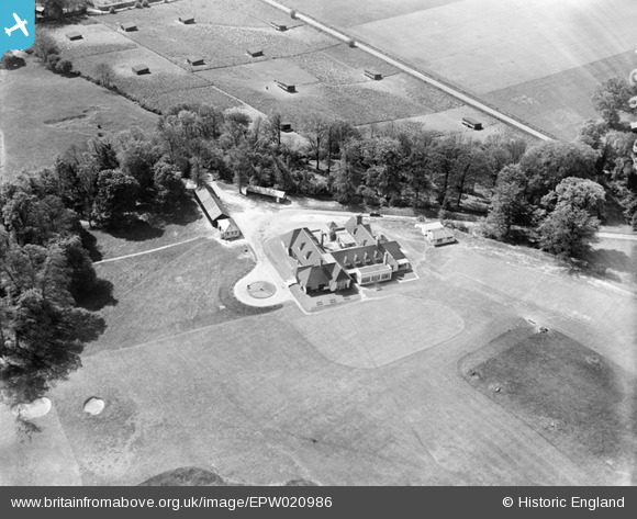
EPW020986 ENGLAND (1928). The West Hertfordshire Golf Club, Cassiobury Park, 1928
© Copyright OpenStreetMap contributors and licensed by the OpenStreetMap Foundation. 2026. Cartography is licensed as CC BY-SA.
Nearby Images (3)
EPW020986

EPW020985

EPW020984

Details
| Title | [EPW020986] The West Hertfordshire Golf Club, Cassiobury Park, 1928 |
| Reference | EPW020986 |
| Date | April-1928 |
| Link | |
| Place name | CASSIOBURY PARK |
| Parish | |
| District | |
| Country | ENGLAND |
| Easting / Northing | 508678, 196526 |
| Longitude / Latitude | -0.42873799327233, 51.65653590096 |
| National Grid Reference | TQ087965 |
Pins
Be the first to add a comment to this image!