
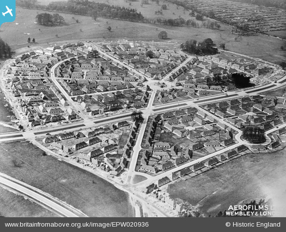
EPW020936 ENGLAND (1928). Middleton Boulevard, Wollaton, 1928
© Copyright OpenStreetMap contributors and licensed by the OpenStreetMap Foundation. 2026. Cartography is licensed as CC BY-SA.
Nearby Images (6)
EPW020936

EPW021829

EPW020937

EPW021830

EPW021831

EPW046100

Details
| Title | [EPW020936] Middleton Boulevard, Wollaton, 1928 |
| Reference | EPW020936 |
| Date | April-1928 |
| Link | |
| Place name | WOLLATON |
| Parish | |
| District | |
| Country | ENGLAND |
| Easting / Northing | 454427, 339373 |
| Longitude / Latitude | -1.1898678683102, 52.94866164611 |
| National Grid Reference | SK544394 |
Pins

MB |
Monday 15th of October 2012 03:41:26 PM | |
|
MB |
Monday 15th of October 2012 03:40:36 PM | |
|
MB |
Monday 15th of October 2012 03:38:01 PM | |
Hi MB, Thanks for identifying and flagging the street names. This should make it easier for people to find their road, and orient themselves when looking at the geometrical patterns of estates like this. Yours, Katy Britain from Above Cataloguing Team Leader |
Katy Whitaker |
Monday 15th of October 2012 07:20:47 PM |
|
MB |
Monday 15th of October 2012 03:25:19 PM | |
|
MB |
Monday 15th of October 2012 03:24:38 PM | |
|
MB |
Monday 15th of October 2012 03:23:51 PM | |
|
MB |
Monday 15th of October 2012 03:23:02 PM | |
|
MB |
Monday 15th of October 2012 03:22:15 PM | |
|
MB |
Monday 15th of October 2012 03:21:16 PM | |
|
MB |
Monday 15th of October 2012 03:20:42 PM | |
Should be Toston Drive |
jdvday |
Monday 2nd of September 2013 01:52:03 PM |
|
MB |
Monday 15th of October 2012 03:19:50 PM | |
|
MB |
Monday 15th of October 2012 03:19:01 PM |
User Comment Contributions
Looking north west |
MB |
Monday 15th of October 2012 03:39:36 PM |