
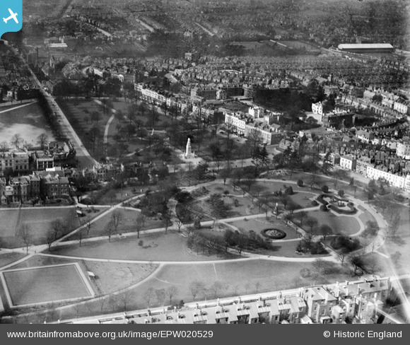
EPW020529 ENGLAND (1928). East Park and the Cenotaph, Southampton, from the east, 1928
© Copyright OpenStreetMap contributors and licensed by the OpenStreetMap Foundation. 2026. Cartography is licensed as CC BY-SA.
Nearby Images (6)
EPW020529

EPW020437

EPW020440

EPW020439

EPW059145

EPW059143

Details
| Title | [EPW020529] East Park and the Cenotaph, Southampton, from the east, 1928 |
| Reference | EPW020529 |
| Date | 16-March-1928 |
| Link | |
| Place name | SOUTHAMPTON |
| Parish | |
| District | |
| Country | ENGLAND |
| Easting / Northing | 442060, 112383 |
| Longitude / Latitude | -1.4017071708974, 50.908830059655 |
| National Grid Reference | SU421124 |
Pins

RiffCliche |
Thursday 15th of November 2012 02:47:42 PM | |
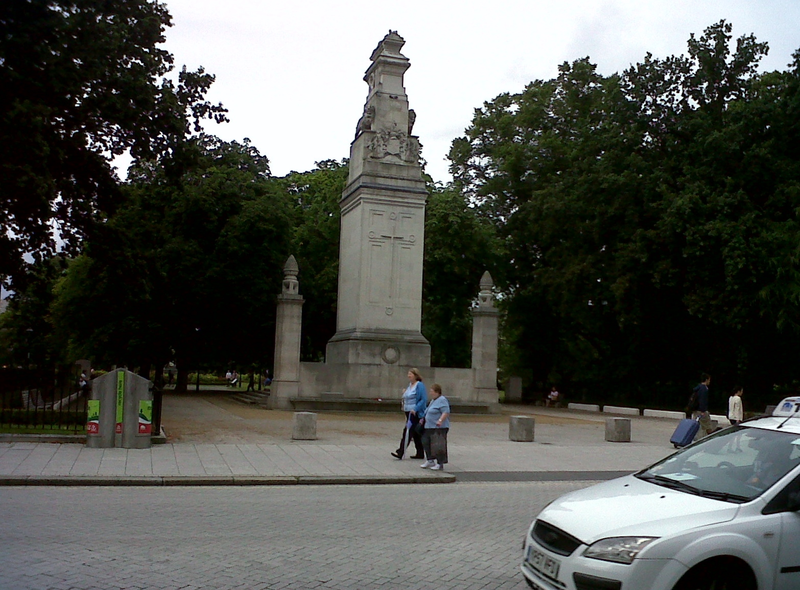
The Cenotaph is the work of Sir Edward Lutyens, who used the basic design for the Cenotaph in Whitehall. |
Lynda Tubbs |
Tuesday 25th of February 2014 02:10:44 PM |
User Comment Contributions
Cenotaph 5/8/2013 |

Class31 |
Tuesday 25th of February 2014 02:16:58 PM |