
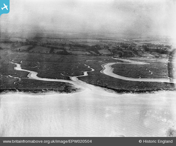
EPW020504 ENGLAND (1928). Southampton Water mud flats and Ashlett Lake, Ashlett, from the north-east, 1928
© Copyright OpenStreetMap contributors and licensed by the OpenStreetMap Foundation. 2026. Cartography is licensed as CC BY-SA.
Nearby Images (7)
EPW020504

EPW020487

EAW038221

EAW038219

EAW038218

EAW038220

EPW020468

Details
| Title | [EPW020504] Southampton Water mud flats and Ashlett Lake, Ashlett, from the north-east, 1928 |
| Reference | EPW020504 |
| Date | 16-March-1928 |
| Link | |
| Place name | ASHLETT |
| Parish | FAWLEY |
| District | |
| Country | ENGLAND |
| Easting / Northing | 447771, 103544 |
| Longitude / Latitude | -1.3216300897153, 50.828897767866 |
| National Grid Reference | SU478035 |
Pins

Class31 |
Monday 23rd of May 2016 10:23:01 PM |
