
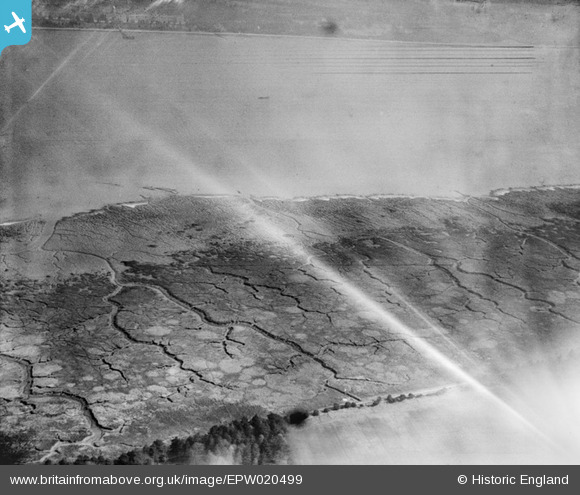
EPW020499 ENGLAND (1928). Southampton Water mud flats, Frostlane, from the south-west, 1928
© Copyright OpenStreetMap contributors and licensed by the OpenStreetMap Foundation. 2026. Cartography is licensed as CC BY-SA.
Nearby Images (4)
EPW020499

EAW006574

EPW020521

EPW020470

Details
| Title | [EPW020499] Southampton Water mud flats, Frostlane, from the south-west, 1928 |
| Reference | EPW020499 |
| Date | 16-March-1928 |
| Link | |
| Place name | FROSTLANE |
| Parish | FAWLEY |
| District | |
| Country | ENGLAND |
| Easting / Northing | 444531, 106007 |
| Longitude / Latitude | -1.3673370084021, 50.851305856115 |
| National Grid Reference | SU445060 |
Pins

Class31 |
Monday 23rd of May 2016 10:26:32 PM |
