
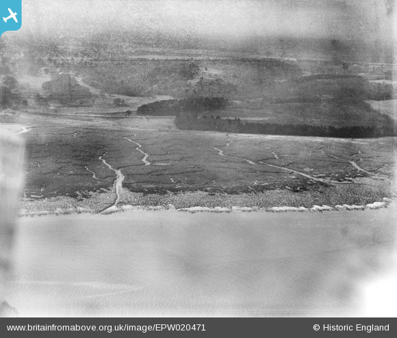
EPW020471 ENGLAND (1928). Southampton Water mud flats and Lammas Wood, Frostlane, from the north-east, 1928
© Copyright OpenStreetMap contributors and licensed by the OpenStreetMap Foundation. 2026. Cartography is licensed as CC BY-SA.
Nearby Images (3)
EPW020471

EPW020491

EPW020469

Details
| Title | [EPW020471] Southampton Water mud flats and Lammas Wood, Frostlane, from the north-east, 1928 |
| Reference | EPW020471 |
| Date | 16-March-1928 |
| Link | |
| Place name | FROSTLANE |
| Parish | FAWLEY |
| District | |
| Country | ENGLAND |
| Easting / Northing | 445384, 105886 |
| Longitude / Latitude | -1.3552340392858, 50.850151390553 |
| National Grid Reference | SU454059 |
Pins
Be the first to add a comment to this image!