
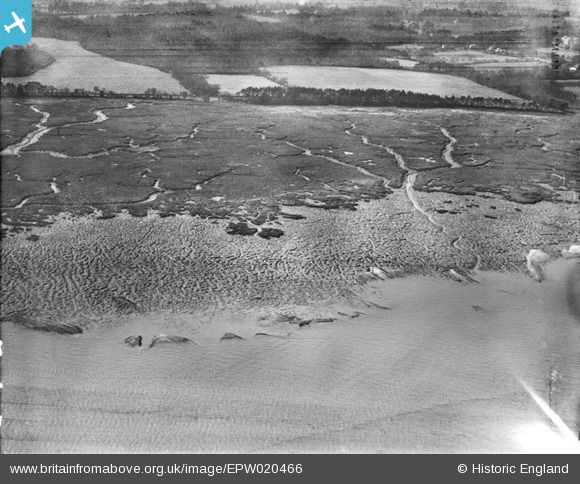
EPW020466 ENGLAND (1928). Southampton Water mud flats, Frostlane, from the north-east, 1928
© Copyright OpenStreetMap contributors and licensed by the OpenStreetMap Foundation. 2026. Cartography is licensed as CC BY-SA.
Nearby Images (4)
EPW020466

EPW020481

EPW020483

EPW020463

Details
| Title | [EPW020466] Southampton Water mud flats, Frostlane, from the north-east, 1928 |
| Reference | EPW020466 |
| Date | 16-March-1928 |
| Link | |
| Place name | FROSTLANE |
| Parish | FAWLEY |
| District | |
| Country | ENGLAND |
| Easting / Northing | 444358, 106820 |
| Longitude / Latitude | -1.369696159875, 50.858630426456 |
| National Grid Reference | SU444068 |
Pins
Be the first to add a comment to this image!