
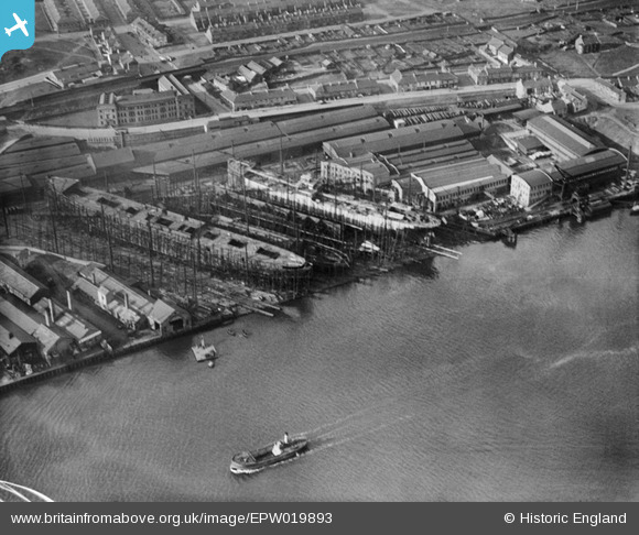
EPW019893 ENGLAND (1927). The Walker Shipyard, Walker, 1927
© Copyright OpenStreetMap contributors and licensed by the OpenStreetMap Foundation. 2026. Cartography is licensed as CC BY-SA.
Nearby Images (3)
EPW019893

EPW053694

EPW053949

Details
| Title | [EPW019893] The Walker Shipyard, Walker, 1927 |
| Reference | EPW019893 |
| Date | October-1927 |
| Link | |
| Place name | WALKER |
| Parish | |
| District | |
| Country | ENGLAND |
| Easting / Northing | 429790, 564435 |
| Longitude / Latitude | -1.5345614815669, 54.973562246146 |
| National Grid Reference | NZ298644 |
Pins
Be the first to add a comment to this image!